John o'Groats to Inverness using Route 1 via Tongue & Nigg Ferry
Cycled from home to York Station, 12 miles, then by train to Thurso via Edinburgh and Inverness. Returned to York, by rail, from Inverness and cycled back home.
Day 1. Train to Thurso. Bed & breakfast. 14 miles.
Day 2. Cycled to John o'Groats and returned to Thurso by the same route to stay a second night at the bed and breakfast. 44 miles.
Day 3. Cycled to Tongue. Bed and breakfast. 47 miles.
Day 4. Cycled to Bonar Bridge. Bed and breakfast. 55 miles.
Day 5. Cycled to Inverness. Bed and breakfast. 66 miles.
Day 6. Train to York. Cycled home from York Station. 15 miles.
Total miles 241.
 |
| Day 2. John o'Groats and the signpost to wherever. |
The harbour at John o'Groats looking north to the Island of Stroma and the Orkneys beyond..
 |
| The last house at John o'Groats. |
 |
| About 2 miles west of John o'Groats on the minor road near Canisbay. |
 |
| The minor road between Canisbay and Castletown looking west. |
 |
| Caithness flags. |
 |
| Heading west to Thurso along minor road. |
 |
| Day 2. Approaching Melvich on the A836. |
 |
| Near Stathy on the A836. |
 |
| Heading west to Tongue on the A836. Miles and miles of brilliant cycling. |
 |
| Looking back eastwards along the A836. Quality cycling galore. |
 |
| Looking west to Ben Hope 3040' (right) and Ben Loyal 2509' (left). More fantastic cycling. |
 |
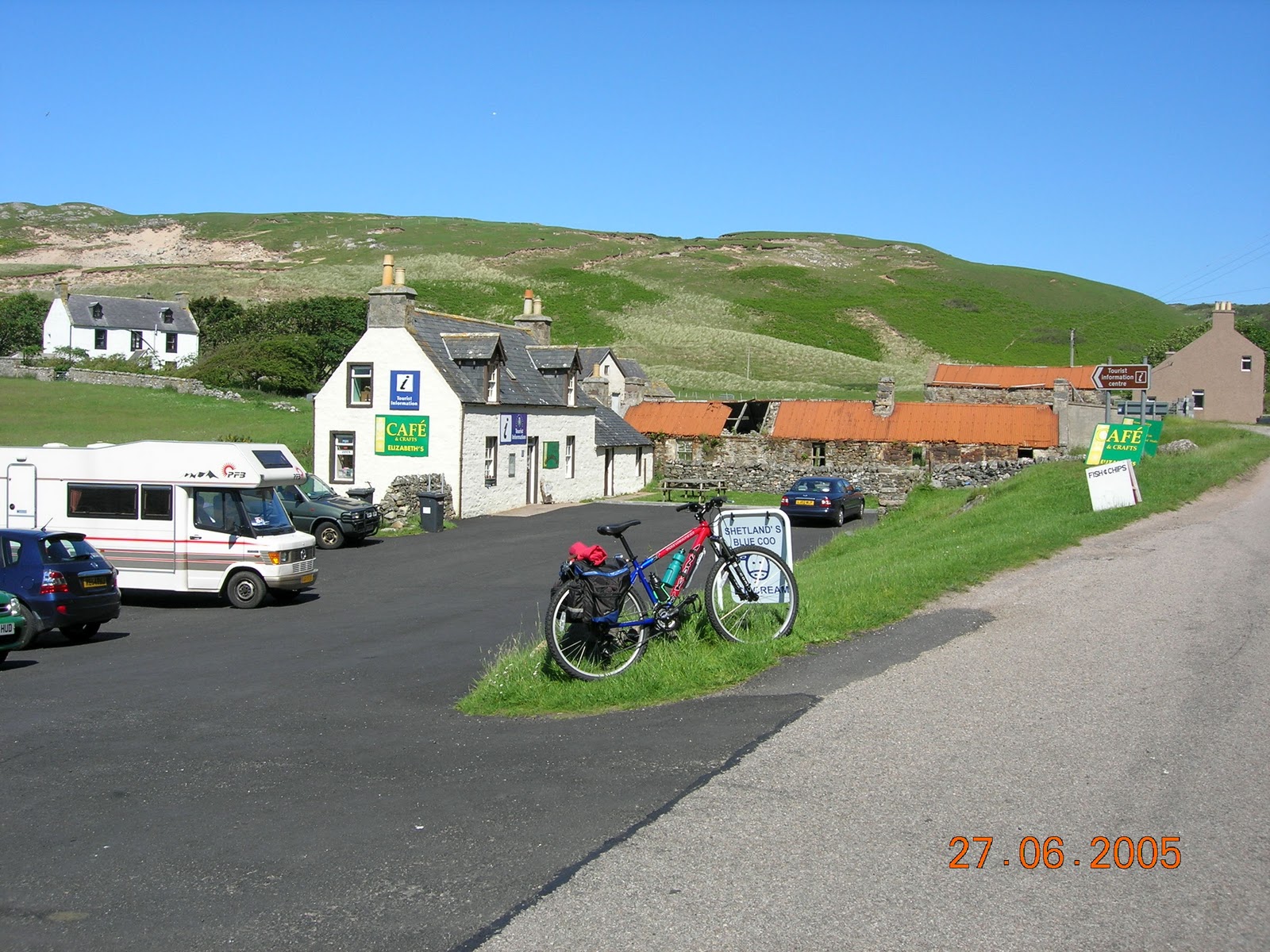
| Bettyhill and excellent services. |
 |
| Here are the excellent services. A great place to linger a while. |
 |
| The kirk at Bettyhill. |
 |
| Invernaver. |
 |
| Still on the A836 near Borgie. I could have cycled all day. |
 |
| The Skerray road junction on the A836. |
 |
| The Kyle of Tongue near Coldbackie on the A836. |
 |
| The view of Ben Loyal, 2509', from the garden of my bed and breakfast in Tongue. |
 |
| Day 3. The causeway west, A838, to Durness across the Kyle of Tongue. I didn't take this route, instead I headed due south from Tongue on the A836 Lairg road. |
 |
| Leaving Tongue and now heading south. |
 |
| Loch Craggie, front left, with Loch Loyal behind. A836 |
 |
| Near Loch Loyal Lodge. A836. |
 |
| This photograph was taken before Altnaharra to remind me of nothing but the sound of the wind blowing through the grass. I need someone with "words" to describe it for me! |
 |
| Approaching Lairg. The journey from Tongue to this point is one of the most memorable bike rides I've ever had, even though it was a hard pull up Strath Vagastie from Altnaharra. |
 |
| The Falls of Shin in Lairg. |
 |
| Near the Falls was a welcome restaurant. |
 |
| Cattle in the Kyle of Sutherland near Culrain taken from the minor road to Ardgay. |
 |
| A view of Bonar Bridge from the south side of the Kyle of Sutherland. |
 |
| Day 5. Back on the A836 just south of Bonar Bridge. I didn't take the B9176 over Struie on this occasion opting to go through Tain and head for the Nigg Ferry. |
 |
| The distillery just west of Tain. Another time perhaps? |
 |
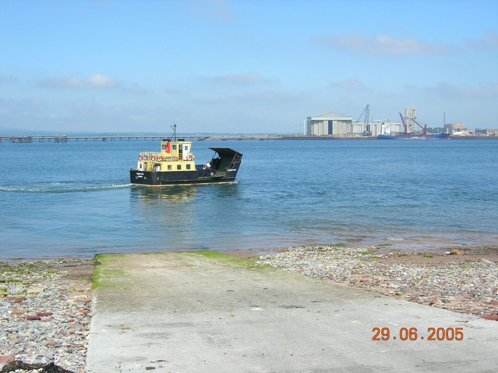
| On board the Nigg Ferry. |
 |
| The Nigg Ferry starting on the return journey to the north bank.. |
 |
| The Sutors of Cromarty looking east. |
 |
Kessock Bridge, Inverness.
I had a bed and breakfast pre booked in Inverness and I was to catch the train the next day for York. It was another cycle ride home, 12 miles. I had a "spot" of rain on the journey back from John o'Groats to Thurso and that was all. A superb little break, good roads, good en route services, good weather - ideal. |